|
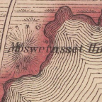
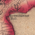
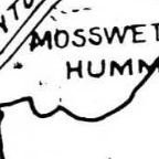
Moswetuset Hill, 1857.
Harvard Maps Collection.
|
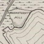
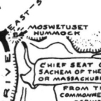
Moswetuset Hill, 1858.
Harvard Maps Collection. |
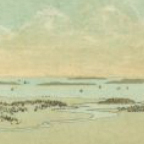
An 1877 panorama view of
Quincy, MA. Norman B. Leventhal
Map Collection, Boston
Public Library. |
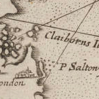
John Smith's 1632 map of
New England. Beinecke Rare Book
and
Manuscript Library, Yale
University. |
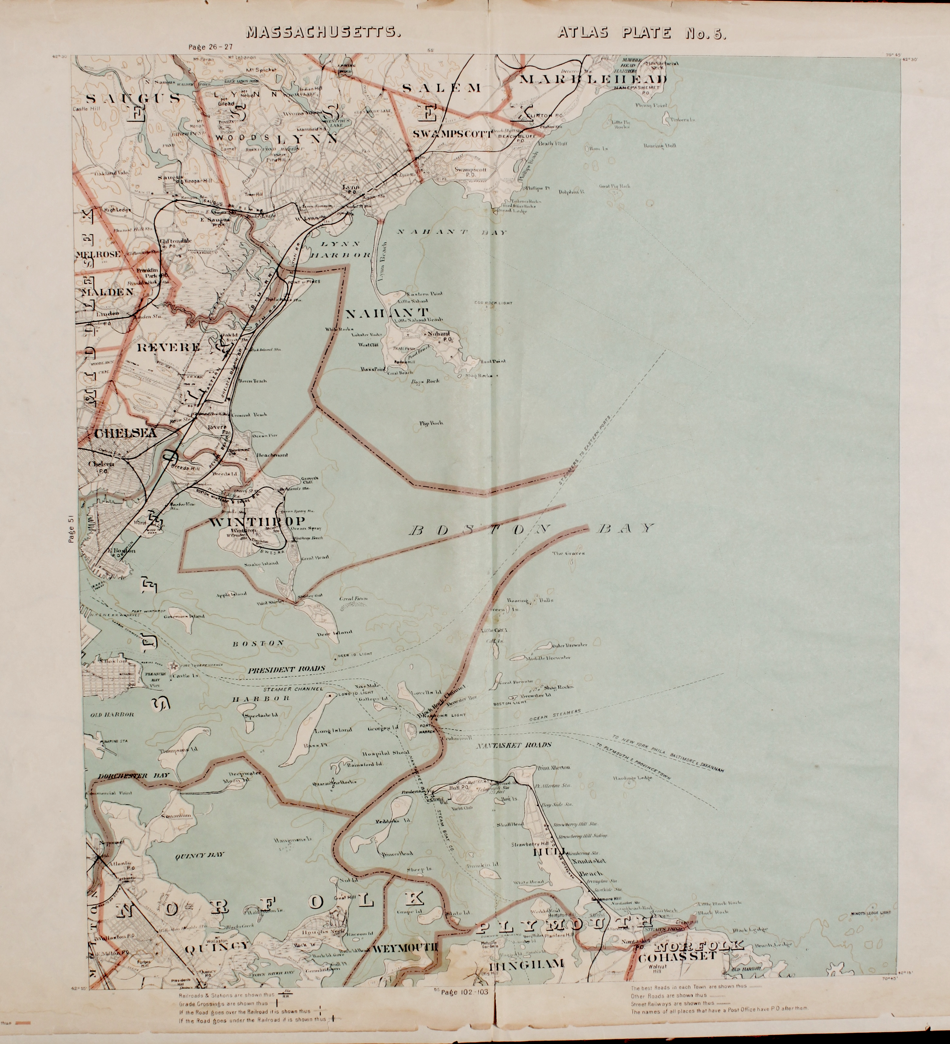
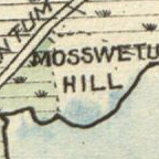
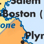
A 1901 map of Quincy, MA.
Norman B. Leventhal
Map Collection, Boston
Public Library.
|
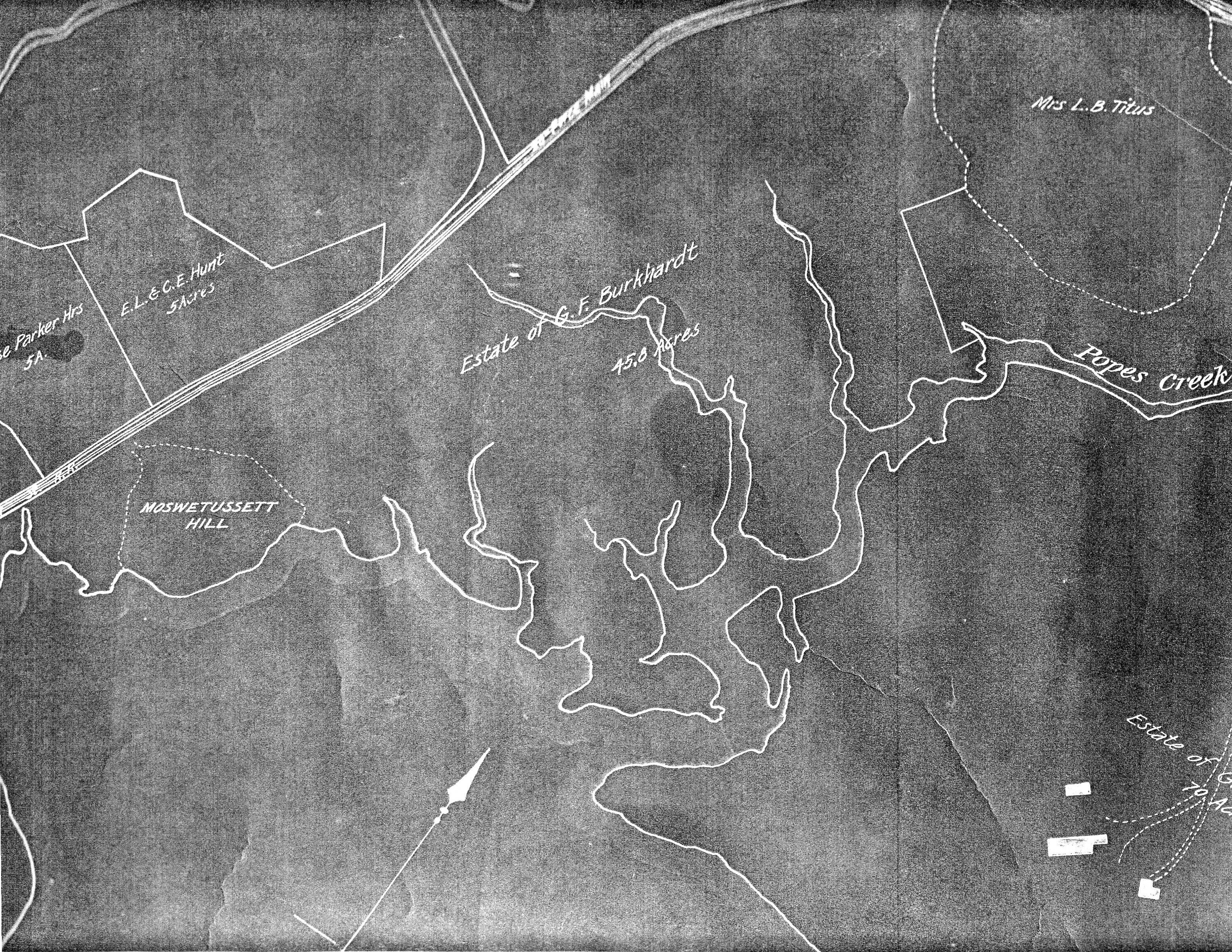
A 1907 map of Quincy, MA.
Norman B. Leventhal
Map Collection, Boston
Public Library.
|
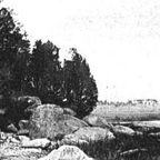
A 1906 view of the hummock from
Daniel Munro Wilson, Quincy,
Old Braintree, and
Merry-Mount (Boston,
1906).
|
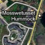
Google maps.
|
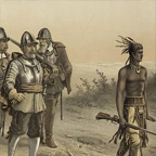
"The March of Miles Standish, "
1873. Library of Congress
Prints and Photographs Division.
|

A 19th-century portrayal of
Miles Standish. Library of
Congress, Prints and Photographs
Division.
|

A 20th-century map of
Quincy,
courtesy of Leslie Graham.
|

A map of agriculture and trade in
Native America, c. 1450,
Bedford St. Martin's Map Central.
|
A map of European Invasion
of
Indian North America,
Bedford St. Martin's Map
Central.
|

A map of native North
Americans about 1500, Bedford St.
Martin's Map Central.
|
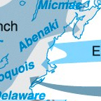
New England Colonies in the
17th century, Bedford St. Martin's
Map Central.
|
Map of Squantum, 1935.
Quincy Historical Society.
|
Map of
Squantum, #2, 1935. Quincy
Historical Society. |

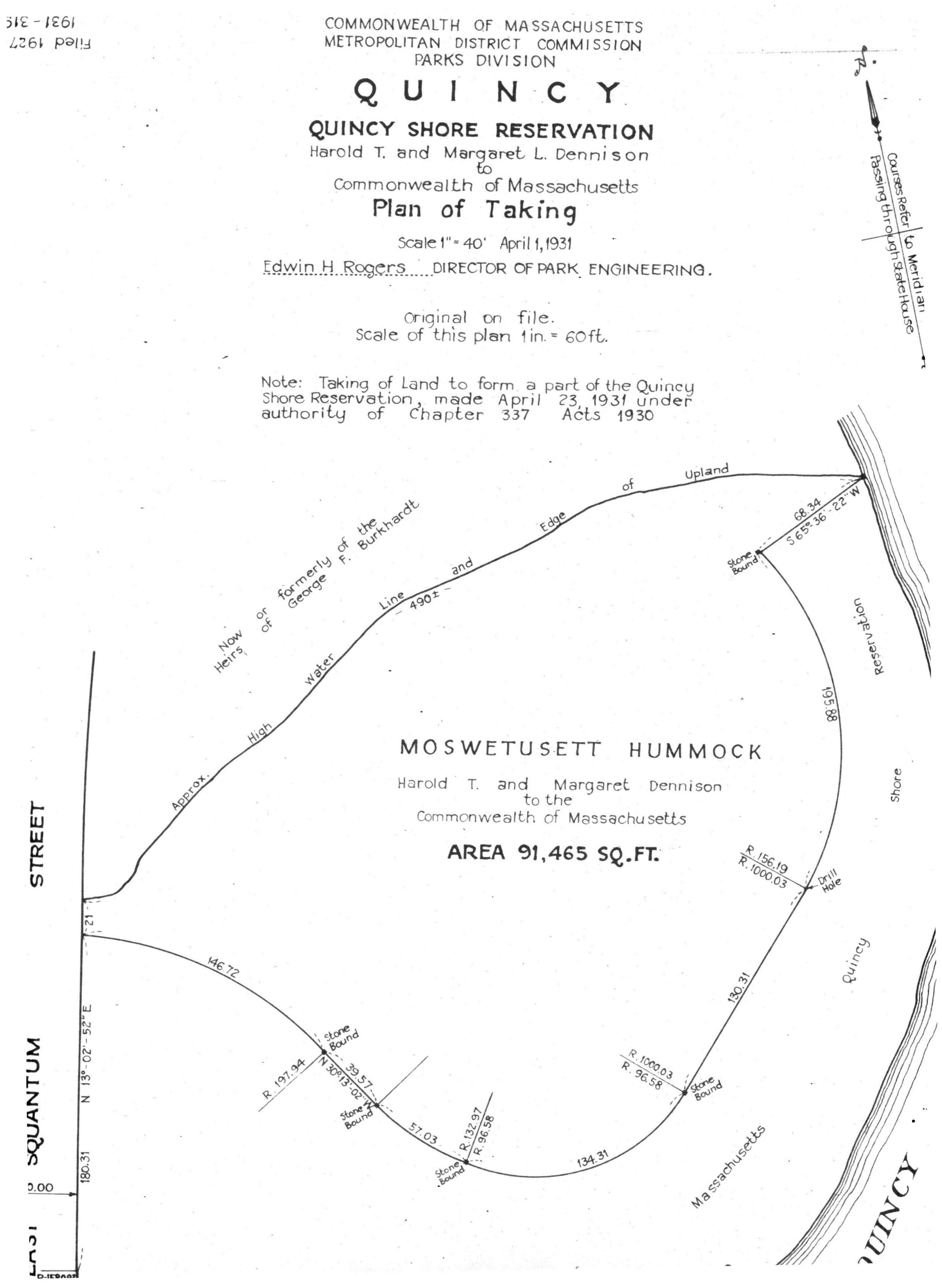
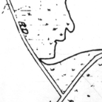
Blueprints/map of hummock, April
1, 1931. Quincy Historical
Society. |
Map of Quincy from Quincy Chamber
of Commerce, 1946. Quincy
Historical Society. |

Map of Squantum area, date
unknown. Quincy Historical
Society. |

A photo taken of the hummock in
1961. Quincy Historical Society. |